Neighbourhood

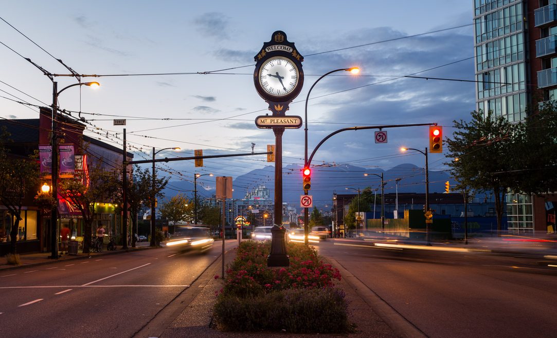
Mount Pleasant 1024 652 mtvc

Mount Pleasant

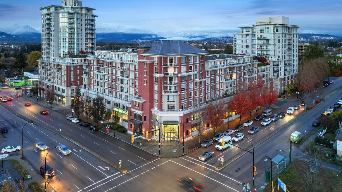
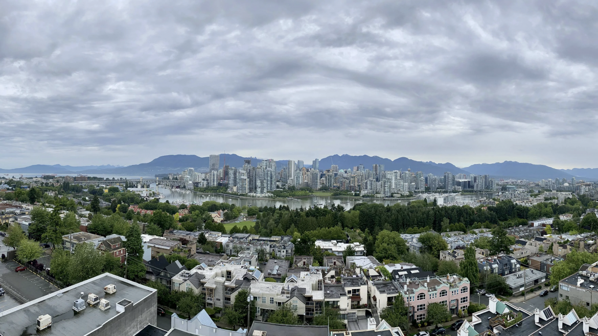
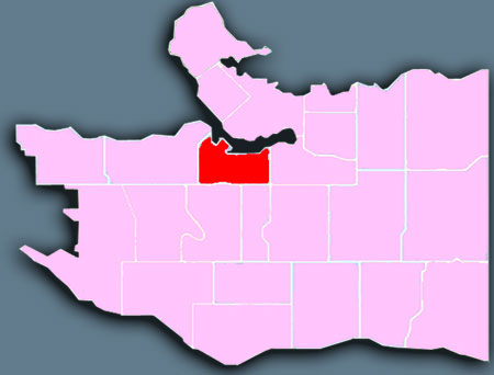
Mount Pleasant is a vibrant and eclectic area known for its unusual stores, heritage buildings, artistic residents, and arts-focused festivals. The area is popular with first-time homebuyers, urban professionals, and families. Mount Pleasant runs from False Creek southeast and up the slope toward the busy Mount Pleasant shopping district, where Broadway, Kingsway, and Main Street meet.

Mount Pleasant is known as one of the more up and coming neighbourhoods, especially in the communities surrounding Vancouver’s downtown peninsula. Many first-time homeowners and young professionals, as well as a growing number of families, call Mount Pleasant home. It is also home to a number of artists and writers, including CBC personalities Ian Hanomansing and Tod Maffin, The Tyee editor David Beers and documentary filmmaker Peter W. Klein.

Neighbourhood history and heritage
The proximity to the business district of Vancouver and the availability of a quality water supply (Brewery Creek) made the area an ideal place for early industry and settlement. Early expectations were that Mount Pleasant would develop as Vancouver’s fashionable “uptown.” The area high above False Creek was named “Mount Pleasant” in 1888, after the Irish birthplace of the wife of H.V. Edmonds. Edmonds, clerk of the municipal council in New Westminster, was the original owner of much of Mount Pleasant.
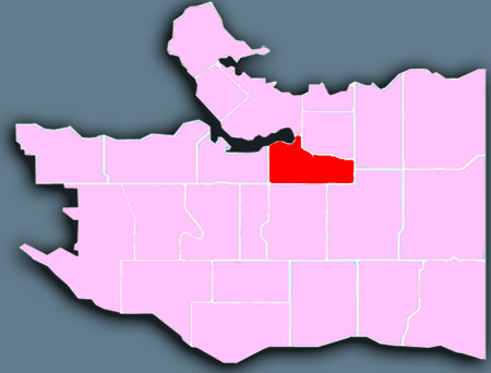
Mount Pleasant

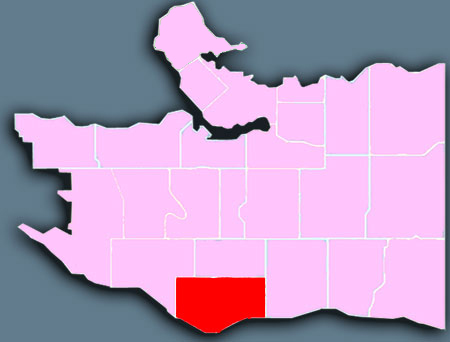
Marpole 385 257 mtvc

Marpole

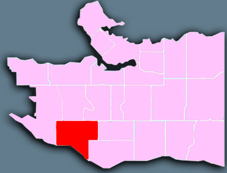
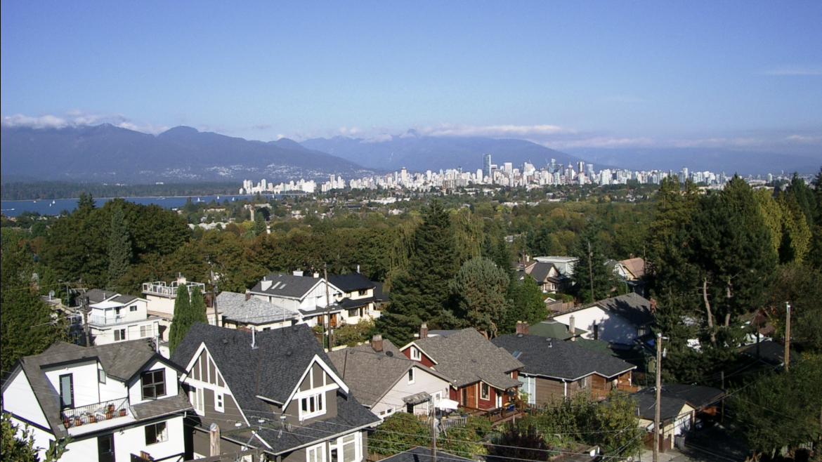
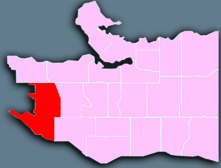
Three bridges and a light rapid transit line across the Fraser River make Marpole a bustling gateway to Vancouver from the south and from the city’s international airport. The area has a mix of residential housing, including low-rise apartments, and several major commercial streets, including shopping along Granville Street. Marpole slopes south from Oakridge into the Fraser River.

Winona Park is a park in the Marpole neighbourhood of Vancouver, British Columbia, Canada, just south of the Langara golf course. It has three levels, each being the size of a football field. Unlike many similar parks that contain large grass fields, Winona Park is not attached to any community centre or school. It is in an area that consists mostly of low-density residential housing, and organized sports clubs require an explicit permit for use of the fields. Therefore, Winona Park is relatively calm as attendance is low, and it provides individual and couples a haven of privacy and peace.

In addition to the three parallel fields mentioned above, the park also features a small children’s playground which consists of a slide, several bars, a tire swing, and four swings. It is notable that the terracing of the three fields and the natural southern aspect of the land in the area allows a spectacular southern view, featuring the North Arm Fraser River and into the Richmond delta. It is said that on a clear day with minimal smog interference, one is able to see tens and tens of kilometres into the distance. Also, since most of the park is composed of grass expanses to accommodate the fields, a light breeze is present even on mostly windless days and grants us relief from the heat of the summer sun. The park is not without shade, however, as there are large trees planted in a linear fashion between each of the fields/levels of the park.

Neighbourhood history and heritage
It is believed the Marpole area was inhabited as far back as 3500 B.C. Two early village sites discovered along the north shore of the Fraser have been documented by archaeologists.

Marpole

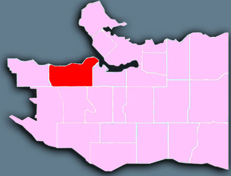
Kitsilano 1024 567 mtvc

Kitsilano

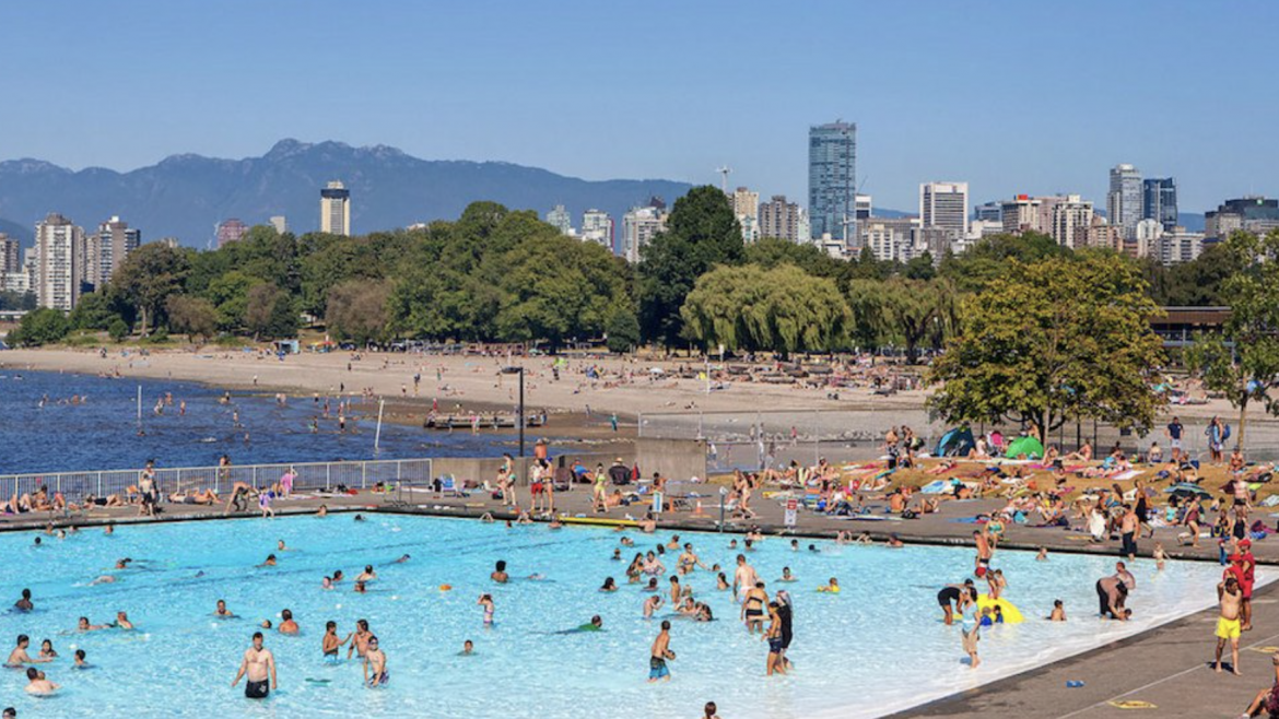
Kitsilano, known locally as Kits, is synonymous with famous Kits Beach—named one of the “top 10 best city beaches in the world” by international travel magazines, and perfect for outdoor fitness. Kitsilano is one of the city’s organic-food hubs, and has extensive restaurants and retail along West 4th Avenue and West Broadway. Kitsilano runs along the south shore of English Bay, between popular Granville Island and Point Grey.

Kitsilano is home to 17 parks, which include six playgrounds, an off-leash dog park, and Kitsilano Beach, one of Vancouver’s most popular beaches.[17] Along with the beach itself, Kitsilano Beach Park also contains a franchise restaurant, Kitsilano Pool, and the Kitsilano Showboat. The Kitsilano Showboat, operating since 1935, is essentially an open-air amphitheatre with the ocean and mountains as a backdrop. All summer long, the showboat hosts free performances from local bands, dance groups, and other performers. Its main goal is to entertain residents and tourists, showcasing amateur talent. It is located on the south side of the Kitsilano Pool along Cornwall Avenue. Weather permitting, shows typically start at 7:30 p.m. on Mondays, Wednesday, and Fridays. Beatrice Leinbach, or Captain Bea, has been playing a role in maintaining the showboat since the mid-1940s. As of 2006, she is the president of the non-profit Kitsilano Showboat Society.[18]

As of September 2018, there was an attempt to reconcile with the Indigenous communities whose land was taken during the expansion of Vancouver. By renaming the beaches and parks, one of which included Kitsilano Beach, Stuart Mackinnon park board chairman was going to work with the Musqueam, Squamish, and Tsleil-Waututh Nations to rename those areas after their original Indigenous names. However, the Indigenous community replied by saying the original areas were not named previously, because they were only forests before colonization. As of today no beaches or parks, including Kitsilano Beach have been renamed in the hən’q’əmin’əm’ (Musqueam Halkomelem) or Skwxwú7mesh Snichim (Squamish language).[19]

Vanier Park is another one of Kitsilano’s most popular parks, and is the location of the Museum of Vancouver, the H. R. MacMillan Space Centre, the Vancouver Maritime Museum, as well as the public art installations Gate to the Northwest Passage by artist Alan Chung Hung and “Freezing Water #7” by Jun Ren.

Neighbourhood history and heritage
At the turn of the century, the area from Burrard to Alma Streets was a dense, wild-life-filled forest, in spite of earlier logging. A salmon canning factory at the foot of Macdonald Street was once unable to cope with the “hundreds of thousands of salmon” caught in 1900.

Kitsilano

Killarney 1024 889 mtvc

Killarney

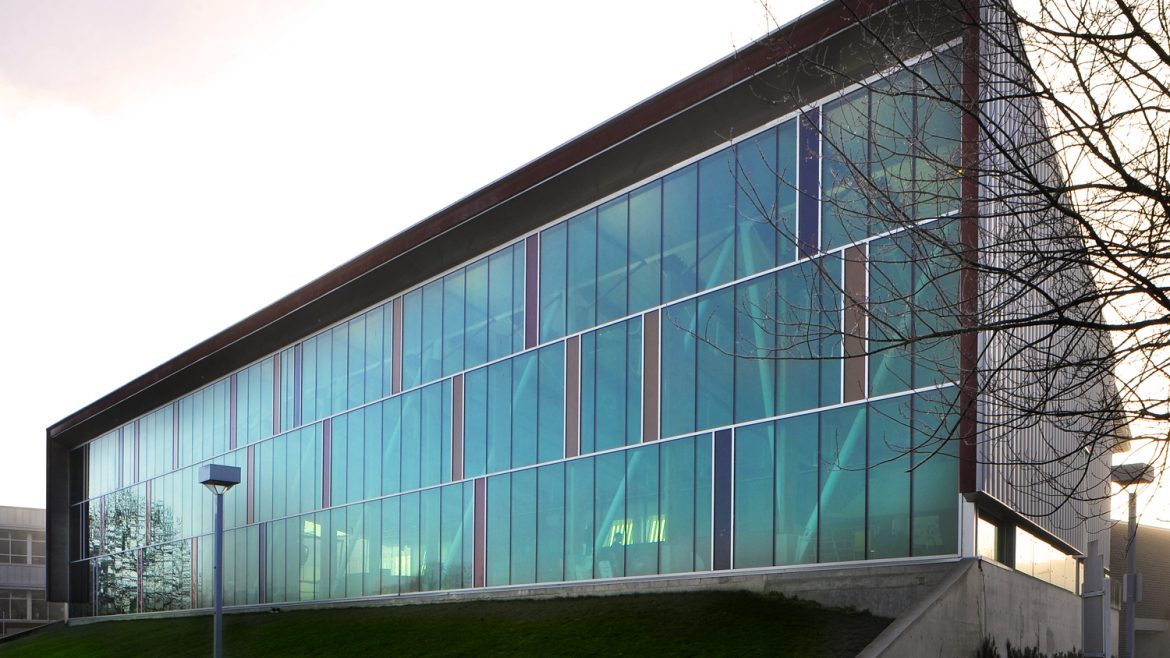
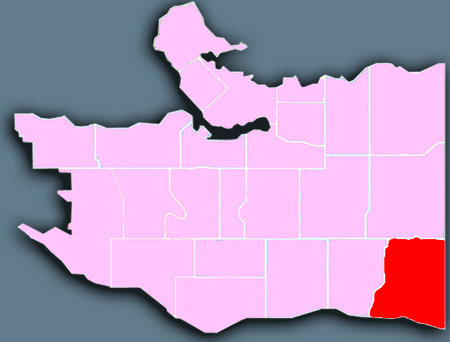
This area is primarily single-family residential, with some multi-family homes, and even highrises in the recently-developed Fraserlands along the Fraser River. Also in this area, Champlain Heights offer retail services and amenities in walking distance. For those seeking a reprieve from city activity, Everett Crowley Park’s 40 hectares offer walking trails and an off-leash area for dogs. Killarney is in the southeastern corner of the city, bordering Burnaby and the Fraser River.

Killarney is well populated with parks and green spaces, reflecting its forest history. The largest is Everett Crowley Park, along Kerr Street and north of Marine Drive; this park was originally a forested area with a ravine and waterfall that was used as a landfill for many years before being closed and reclaimed to its present form. Across Kerr is the Fraserview Golf Course, which also includes a number of trails. Killarney Park is now the location of Killarney Secondary School and a Community Centre, which features a swimming pool, is built on a reclaimed bog. There is also a Community Centre in Champlain Heights, near a commercial sector at the corner of East 54th and Kerr. A trail runs along the Fraser River through green space stretching along the riverfront. It also features a newly constructed Olympic ice rink for the 2010 Winter Olympics. The music video of Canadian singer Michael Bublé’s song “Haven’t Met You Yet” was shot in Killarney Market at the corner of East 49th Avenue and Elliott Street in Killarney. After 25 years as a family-owned grocer, Killarney Market was sold to another local independent retailer in 2018. The location is now known as 88 Supermarket.

Neighbourhood history and heritage

Although the first settlers arrived in the late 1800s, Killarney remained an area of second-growth forest and farms until after WWII. The first non-native settler to the area was William Rowling in 1868.

A surveyor in the British military, he received the only land military grant in Vancouver for his service to the British Empire. Before long Rowling and his family owned 3.5 kilometres of land along the Fraser River shoreline, including all of Killarney’s riverfront land.

Killarney

Kerrisdale 720 350 mtvc

Kerrisdale

Kerrisdale is primarily a residential area, and has many long-time residents. Its residential streets are lined with sweeping, grand old trees. Kerrisdale Village is the main shopping area, and one of the first to introduce specially designed street furniture to beautify the main shopping streets. Kerrisdale is in the south-western section of the city, sloping down to the Fraser River.

The stretch of businesses along W. 41st Ave between Balsam and Maple streets comprise the Kerrisdale Business Association,[3] the longest running such association in Vancouver. Member businesses pool funds for festivities and general beautification of the area, including the hiring of a full-time gardener during summer months.

The Arbutus Corridor, a no-longer-used CPR railway line which bisects the neighbourhood, has been purchased by the City of Vancouver and will be a series of community gardens, as well as a greenway for bicycles and pedestrians. The railway line has been removed and the right of way has been converted into a greenway for pedestrians and cyclists.

Kerrisdale Community Centre is home to the Kerrisdale Branch of the Vancouver Public Library, and Kerrisdale Pool.

North of 41st Avenue on East Boulevard is the Kerrisdale Cyclone Taylor Arena, built in 1949 as a hockey arena and was used as wrestling venue for 1954 British Empire and Commonwealth Games.

The Arbutus Greenway, a large path designed for bikers and pedestrians, runs North-South through the heart of Kerrisdale.

Neighbourhood history and heritage
The first settlers in Kerrisdale were the Irish McCleery brothers, who came to the area in 1867 to farm the meadows where the golf course now bearing their name is located. When the Steveston fish canneries began to flourish, a need for workers prompted the CPR to construct a railway from Vancouver to Lulu Island. The “Sockeye Special,” as it was called, went through the heart of Kerrisdale, providing transportation for the first influx of people.

Kerrisdale

Kensington-Cedar Cottage 1024 768 mtvc

Kensington-Cedar Cottage

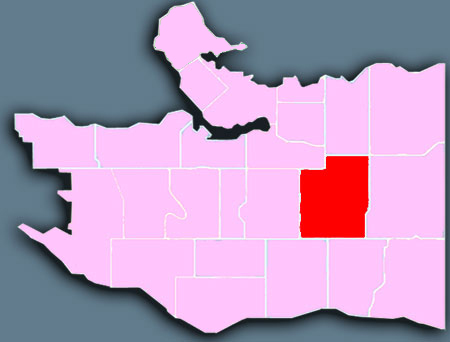
Kensington-Cedar Cottage has a wide social and demographic mix, with an impressive range of ethnic groups who contribute richly to Vancouver’s cultural diversity. This area also has a thriving colony of artists, many in residential live/work studios. Kensington-Cedar Cottage lies in the centre of east Vancouver, with scenic views from the top of the city’s east-west ridge, and running down to beautiful Trout Lake, an urban lake and park.

John Hendry Park, named after the lumber industrialist John Hendry who owned the land, is located in the north-east of Kensington–Cedar Cottage. In the centre of the park is Trout Lake, once the water source for the Hastings Sawmill. The park also houses an ice rink, that was built for the 2010 Winter Olympics, and Trout Lake Community Centre.

Like most of East Vancouver, Kensington–Cedar Cottage used to be predominantly working class but rising house prices have made the area increasingly popular with young professionals and families who can no longer afford houses in areas such as the west side.

Neighbourhood history and heritage
Kensington-Cedar Cottage combines two historic neighbourhoods: Cedar Cottage, located north of Kingsway to Broadway, between Clark and Knight Streets and Nanaimo Street; and Kensington, located south of Kingsway to 41st Avenue, between Fraser and Nanaimo Streets.

Kensington-Cedar Cottage

Hastings-Sunrise 750 512 mtvc

Hastings-Sunrise

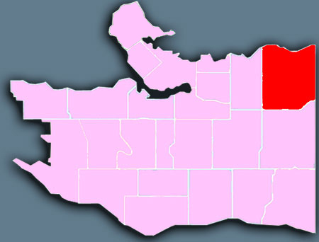
Hastings-Sunrise is best known as the home of the Pacific National Exhibition, at Hastings Park. The area is mainly residential, with shops and services along Hastings Street’s East Village and in pockets along other major streets. Hastings-Sunrise is an ethnically diverse and working-class area that also attracts young professionals. On its north slope, Hastings-Sunrise has impressive views across Burrard Inlet and the mountains, while to the east it borders the City of Burnaby, at Boundary Road.

Hastings–Sunrise is the northern half of a block of land ear-marked by the Province of British Columbia in the mid-19th century as the future location for a harbour city to complement New Westminster, the town on the Fraser River which was then (in 1863) BC’s capital and the terminus city for Western Canada. While Gastown became the shipping destination for the BC coast, New Brighton, as the area was then called, became a popular recreational destination for 19th century New Westminster residents.

The northern half was re-christened Hastings (officially ‘The Hastings Townsite’) in 1869 in honour of a visit by Admiral Hastings. The first road, hotel, post office, telephone, real estate transaction, and subdivision in what is now Vancouver were all built at Hastings Townsite. The area’s first ferry service between Burrard Inlet and Victoria, also operated from here. The area didn’t become part of the City of Vancouver until 1911.

Neighbourhood history and heritage
Hastings-Sunrise sits on the northern half of a block of land which the provincial government set aside in 1863 for a town they expected to develop along the shores of what was considered one of the finest harbours on the West Coast. Although it was Gastown farther west that eventually developed into the great port city, a small resort, New Brighton, did develop on the shoreline roughly where New Brighton Park is today.

Hastings-Sunrise

Grandview-Woodland 1024 721 mtvc

Grandview-Woodland

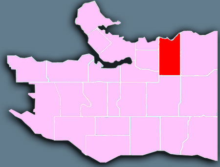
Grandview-Woodland is an ethnically diverse area full of eclectic charm and character. One of Grandview-Woodland’s most popular attractions is Commercial Drive, known as The Drive by locals, which is a mix of old-world charm meets modern hipness, and one of the city’s organic-food hubs. Grandview-Woodland is in the northeastern section of the city, east of the historic neighbourhoods, Chinatown and Strathcona, and west of the Pacific National Exhibition fairgrounds, at Hastings Park. The Grandview-Woodland area extends south to Trout Lake, a beautiful urban lake and park.

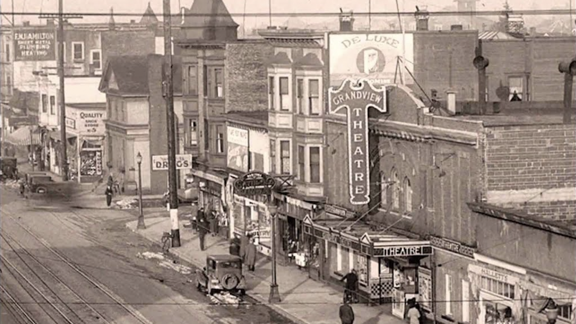
Commercial Drive is perhaps the single most popular part of Grandview–Woodland. A street packed with small shops, it has been a key part of the commercial landscape in Vancouver for nearly a century for its ethnic diversity and the uniqueness of shops that populate it. Known locally as “The Drive”, visitors find everything from trendy coffee shops to hangouts for many ethnicities (celebrations during the FIFA World Cup can bring out soccer fans of many nationalities, for example) to sex toys to hemp shops. Little Italy focuses on the Drive, though many of its residents have moved to other neighbourhoods over the years.

Neighbourhood history and heritage
Grandview might have remained a wilderness of stumps (it was logged off in the 1880s) if not for the Vancouver-New Westminster interurban railway which opened in September 1891; the same year the area’s first house was built. It had hourly runs from Carrall and Hastings Streets along Park Drive (Commercial Drive). Construction of 2nd and 3rd Avenues, between Clark and Woodland, by chain gangs from the Powell Street jail in the late 1890s opened the area for development. Arrival of the city water system along Commercial Drive in 1904 allowed for more expansion.

Grandview-Woodland

Fairview 1024 527 mtvc

Fairview

Fairview is home to one of Vancouver’s most popular attractions, Granville Island, and also to Gallery Row in the South Granville shopping district. Fairview is in the central section of the city, from Granville Island along scenic False Creek to Science World, and south to Shaughnessy.

Among the city’s lines, which included the Cambie and Granville streetcars and the crosstown route along Broadway, a line known as the Fairview Loop ran in both directions from downtown up Main to Broadway to Granville and back into downtown. With that area’s ease of access to the city core, commercial and residential development quickly filled out the neighbourhood, which north of Broadway enjoys a fine view of the city core and the North Shore Mountains, hence the name.

Neighbourhood history and heritage
Less than 100 years ago the False Creek and Fairview Slopes area were a forest of huge fir trees. Fairview was named in 1886 by CPR Land Commissioner L.A. Hamilton. Hamilton’s survey established the numbered system of east-west avenues and named the cross streets after trees.

Fairview

Dunbar-Southlands 1024 742 mtvc

Dunbar-Southlands

Dunbar-Southlands is a mature community of quiet, residential streets lined with grand old trees, serene parks, convenient Dunbar Village shopping area, and the lovely McCleery Golf Course. Dunbar-Southlands is home to the Musqueam First Nation land, as well as the unique urban country neighbourhood of Southlands. This area is in the southwestern section of the city, north of the Fraser River and east of the University of British Columbia and Pacific Spirit Regional Park.

Dunbar–Southlands is bordered on the north by West 16th Avenue and on the south by the Fraser River; it stretches from the University Endowment Lands on the west to Mackenzie, Quesnel and Blenheim Streets in the east. It is centred on Dunbar Street. Southlands lies south of Marine Drive in the floodplain of the Fraser River, and the Musqueam Indian Reserve is also encompassed by the region.

Neighbourhood history and heritage
Archaeological evidence indicates that native Indians inhabited the Southlands area as early as 400 B.C. The mouth of the Fraser provided abundant hunting and fishing grounds for coastal Salish Indians who settled in at least three locations: the Angus Lands, Celtic Island and the Musqueam Reserve area. In 1879, the Musqueam Reserve was formally dedicated and in 1892, Southlands became part of the newly incorporated District of South Vancouver.

Dunbar-Southlands