Neighbourhood

West Point Grey 1024 768 mtvc

West Point Grey

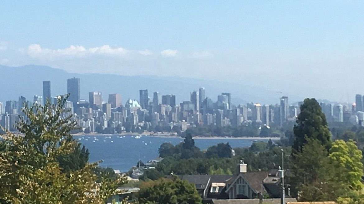
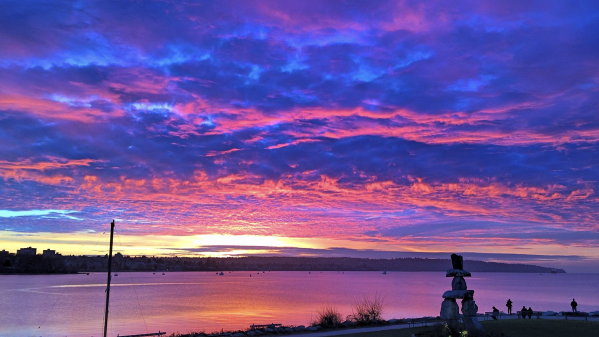
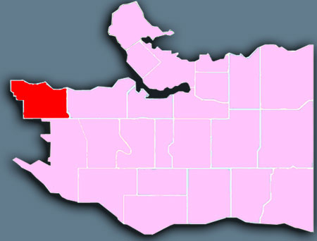
West Point Grey is one of Vancouver’s older neighbourhoods, with many long-time residents. The area is known for two of the city’s popular beaches, Jericho Beach and Spanish Banks. Both beaches are great for watching the sunset, over English Bay and the mountains. Point Grey Village serves as the area’s shopping district, where many independently owned businesses contribute to a village-like atmosphere. West Point Grey runs along English Bay, between the University of British Columbia and Kitsilano.

West Point Grey is home to the Jericho Lands, composed of two parcels of land with a total area of 36 hectares (90 acres). In a historic agreement in 2014, the larger eastern parcel was acquired by a joint ownership group composed of the Musqueam, Squamish, and Tsleil-Waututh Nations and Canada Lands Company. In 2016, the Musqueam, Squamish, and Tsleil-Waututh Nations partnership acquired the smaller western parcel from the provincial government. The entire area is slated for redevelopment and initial public engagement began in March 2019 in conjunction with the City of Vancouver.

Neighbourhood history and heritage
The local Musqueam people lived here in the ancient village of Ee’yullmough and the earliest modern immigrants were attracted to the site as well. Spaniard Jose Narvaez and his crew rediscovered it in 1791 and named it Langara Point.
West Point Grey

West End 1024 576 mtvc

West End

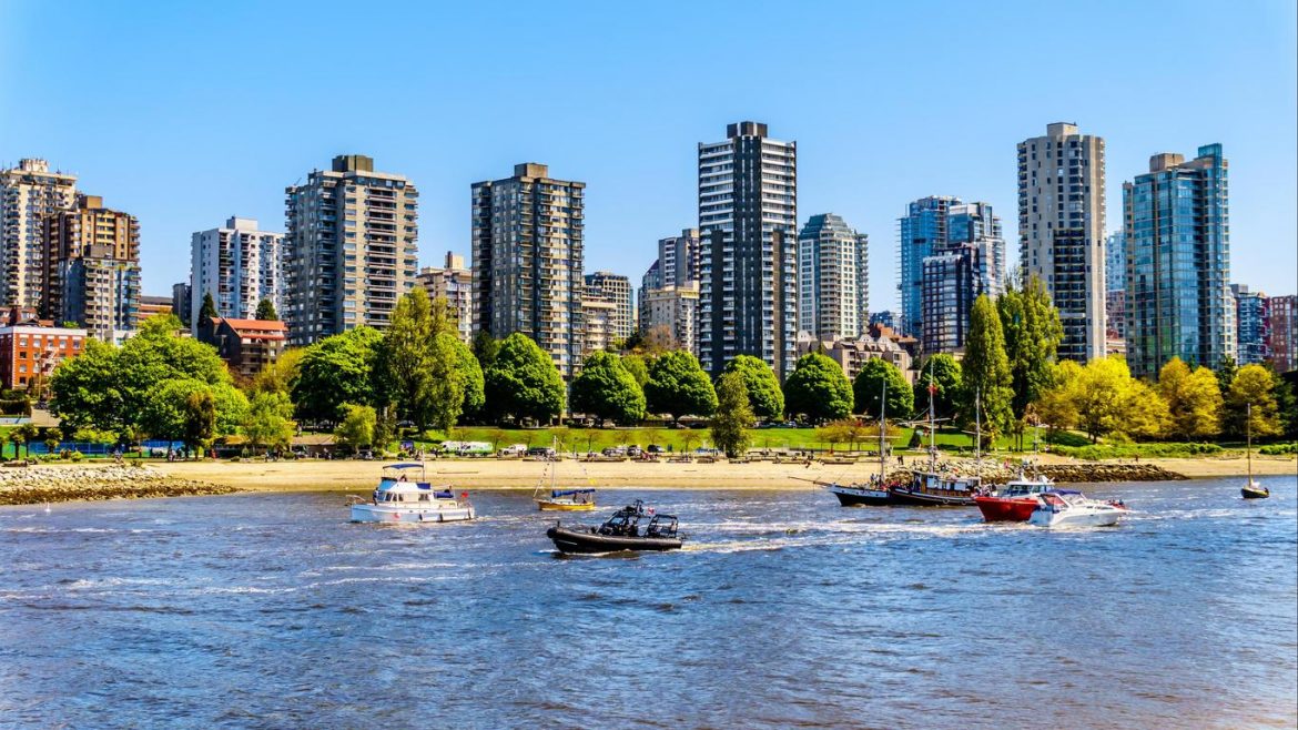
The West End lies west of Downtown, and, on three sides, is bounded by water: English Bay, Coal Harbour, and Lost Lagoon in world-famous Stanley Park. Recreational amenities are within walking distance for residents of this high-density area. The West End includes Davie Village and Denman Street, which together provide local shopping and restaurants. This area also has high-end retail on Robson Street and Alberni Street.

Numerous parks and beaches can be found throughout the West End including Alexandra Park, Cardero Park, Nelson Park, Stanley Park and Sunset Beach. These parks range in size from 0.22 hectares (Morton Park) to over 406 hectare (Stanley Park). A portion of the Stanley Park Seawall promenade runs along the waterfront from Burrard Bridge to Ceperly Park.

The area is also known for English Bay Beach, a large park on English Bay which is thronged during the annual Celebration of Light fireworks display each year mid-summer. St. Paul’s Hospital, one of Vancouver’s largest and oldest health facilities, sits at the neighbourhood’s eastern edge on Burrard Street.

Neighbourhood history and heritage
The West End is located in the most densely populated, intensively active portion of the Lower Mainland. It shares the peninsula with the Downtown, Central Business District and Stanley Park. Until the turn of the century, the West End was only sparsely settled, due to its distance from the old Granville Townsite (Gastown).

West End

Victoria-Fraserview 1024 573 mtvc

Victoria-Fraserview

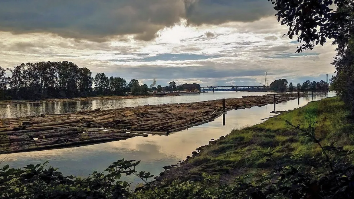
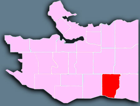
Victoria-Fraserview encompasses a large area of residential and commercial development. It is a multiculturally diverse area, with a large Indo-Canadian population, and a great destination for fresh produce, sarees, fabrics, imported goods, and international cuisine. Victoria-Fraserview is on Vancouver’s south slope to the Fraser River, between the Knight Street Bridge and Killarney.

While Victoria–Fraserview was populated early in the city’s development, it does not have many existing heritage buildings, but one remains as a unique site in a metropolitan city, the Avalon Dairy. Started in 1906 by Jeremiah Crowley, the Avalon Dairy started with six cows and grew into the longest-running dairy operation in British Columbia and is still run by the Crowley family. In 2011, Lee Crowley, the current owner of Avalonian Dairy and grandson of founder Jeremiah Crowley, moved the business to a new bottling facility in nearby Burnaby and sold the 1.25-acre farm property to a local Killarney-area development company.

Neighbourhood history and heritage
Drawn to the vast virgin forests on the northern bank of the Fraser River, the first non-indigenous families settled in the Victoria-Fraserview area in the 1860s. A small population established a settlement near the southern ends of Main and Fraser Streets.

Victoria-Fraserview

Sunset 1024 764 mtvc

Sunset

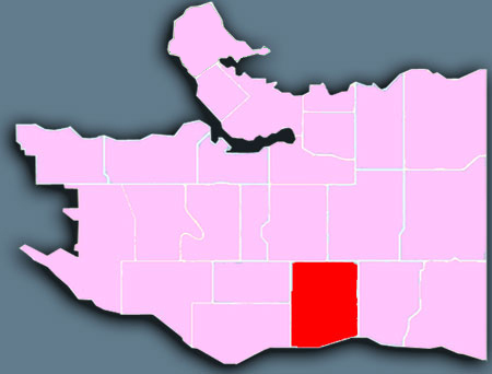
The area is an Indo-Canadian hub in Vancouver. Both Main Street and Fraser Street are vibrant shopping areas lined with many independently owned stores and restaurants. Sunset is in south-central Vancouver, east of Langara Golf Course, and slopes from the Mountain View cemetery down to the Fraser River.

The neighbourhood is primarily known for the Punjabi Market and its historically large Punjabi-Canadian population.

Sunset is the most ethnically diverse neighbourhood in Vancouver, British Columbia. It is located in the south-east quadrant of the city. Surrounding the multicultural Fraser Street district, Sunset is bordered by both the Marpole and Oakridge neighbourhoods to the west, and the Victoria-Fraserview neighbourhood to the east.

The neighbourhood is primarily known for the Punjabi Market and its historically large Punjabi-Canadian population.

Neighbourhood history and heritage
Sunset was one of the earliest communities to be settled in the Vancouver area. The first families to inhabit South Vancouver came to the banks of the North Arm of the Fraser River to farm, fish and log.

Sunset

Strathcona 800 614 mtvc

Strathcona

Strathcona is one of this city’s earliest neighbourhoods. It features beautifully restored row houses, overflowing flower gardens, and welcoming front porches.

Strathcona grew out of the collection of shacks and small buildings that surrounded the Hastings Mill site, and has a unique mix of people, history, land use, and architecture.

It is a neighbourhood of houses, apartment buildings, and rooming houses where neighbours walk to the corner store, do tai chi in the parks or stroll in the community garden. It is a community that has managed to survive, and thrive, despite constant pressure for change.

Strathcona includes the neighbourhoods of:

  • Downtown Eastside
  • False Creek Flats

The late 19th and early 20th century architecture in the area is a relative rarity in Vancouver and many houses in Strathcona are designated heritage houses. This housing stock in particular is being renovated, thus raising property values and attracting wealthier home owners to the area. A number of homeowners have restored their houses in the original Victorian or Edwardian styles, with a particular attention to the “true colours” of the period, which in some cases has been supported by grants from the “Restore It!” program of the Vancouver Heritage Foundation.

Neighbourhood history and heritage

Known as the “East End” – the original East End School which gave the area its name was at the corner of Powell and Jackson – well into the 1950s, Vancouver’s first neighbourhood grew up around the Hastings Milland expanded southward from Burrard Inlet. It has always been a diverse neighbourhood where a succession of immigrants including the British, Irish, Russian, Croatian, Greeks, and Scandinavians, Japanese and Chinese have lived before moving on to other parts of the city.

Strathcona

South Cambie 1024 693 mtvc

South Cambie

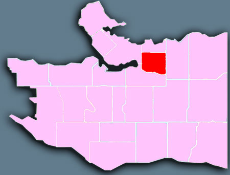
South Cambie is sandwiched between Queen Elizabeth Park and Shaughnessy heights. This area is known for its abundance of medical facilities include BC Children’s Hospital, BC Women’s Hospital and Health Care Centre, GF Strong Rehabilitation Centre, and Canadian Blood Services.

A number of heritage structures can be found in the South Cambie area, including the 1912 Tudor-style building that houses a Royal Canadian Mounted Police training facility on Heather Street. A number of other heritage homes from the 1910s and 1920s can be found in the northern portion of the neighbourhood.

The South Cambie area includes some of the province’s top medical facilities, including BC Children’s Hospital and BC Women’s Hospital and Health Centre. It was also the site of historic Shaughnessy Hospital, used extensively during World Wars I and II.

The South Cambie area is also home to several educational institutions including Eric Hamber Secondary School, Emily Carr Elementary School, Edith Cavell Elementary School, & French language schools École Rose-des-Vents and École secondaire Jules-Verne, both operated by Conseil scolaire francophone de la Colombie-Britannique.

Neighbourhood history and heritage
Named after CPR engineer Henry Cambie, South Cambie was once home to elk, oxen, loggers, ranchers, and Chinese vegetable gardeners. Today, as yesterday, the area is dominated by Little Mountain, the highest point in Vancouver, and one of the only places from which to command a 360-degree view of the city.

South Cambie

Shaughnessy 800 533 mtvc

Shaughnessy

Shaughnessy is largely residential, with a higher-than-average proportion of heritage houses from the first half of the last century. Several major arteries serve this otherwise serene area.

Local residents enjoy shopping areas in Arbutus to the west and Cambie Village to the northeast.

The eastern side of this area has two hospitals and the gorgeous VanDusen Botanical Garden. Shaughnessy is the city’s geographic heart, between Queen Elizabeth Park and Arbutus.

Shaughnessy is home to Little Flower Academy, Vancouver College, and York House School. The public elementary schools are Shaughnessy Elementary and Quilchena Elementary. There is one public high school in Shaughnessy, Point Grey Secondary. The neighbourhood is in the catchment area of each of Eric Hamber Secondary School, in Oakridge, or Prince of Wales Secondary School, in Arbutus Ridge.

Shaughnessy has five parks, including Shaughnessy Park, formally known as Crescent Park, and Angus Park in First Shaughnessy. The other three parks in Shaughnessy are Devonshire Park, Kerrisdale Park, and VanDusen Botanical Garden, located between 33rd and 41st Avenues. The Arbutus Greenway, purchased by the City of Vancouver from Canadian Pacific Railway, stretches along the western border of Shaughnessy from 41st Avenue to 16th Avenue.

Neighbourhood history and heritage
In 1885, the provincial government gave the CPR 6,000 acres of prime land in the heart of Vancouver. Of that, the company selected Shaughnessy Heights as the best location for its premier residential subdivision.

Shaughnessy

Riley Park 720 350 mtvc

Riley Park

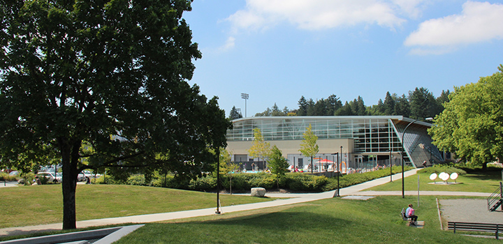
Riley Park is home to KW Realty VanCentral, the Vancouver Olympic/Paralympic Centre and to Nat Bailey Stadium—home of the Vancouver Canadians baseball team. The area has two thriving hubs of unique boutiques, grocers, and restaurants: along Main Street and along Cambie Street. Shops on Main are also known for locally-designed clothing and antique furniture. From Kingsway to City Hall, Riley Park runs south to include the Mountain View cemetery and beautiful Queen Elizabeth Park, atop Little Mountain.

Little Mountain is the former name of a quarry located at what is now Queen Elizabeth Park. The quarry garden at the park is one of the most popular places in Vancouver. There is a pitch and putt and a disc golf course at Queen Elizabeth Park, as well as the Seasons In The Park restaurant.

Hillcrest Park is a park in the north-east section of the neighbourhood, with Hillcrest Community Centre located in the park. The park includes an aquatic centre, fitness centre, ice rink, gymnasium, indoor cycling, multi-purpose rooms, a games room, dance studio, playgrounds, childcare centre, and a Blue Parrot Coffee.

Neighbourhood history and heritage
Riley Park’s origins date back to 1893, when pioneers logged Little Mountain and cut trails around its base. By the early 1900s, a scattered community began to thrive on upper Main Street. Its residents were primarily Little Mountain quarry workers, who mined volcanic rock for use surfacing the area’s first roads.

Riley Park

Renfrew-Collingwood 322 156 mtvc

Renfrew-Collingwood

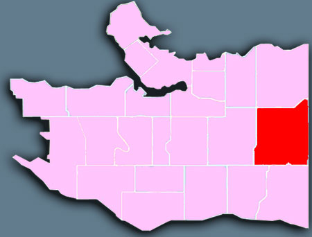
Renfrew-Collingwood is primarily a residential area, with good access to nature. Renfrew Ravine Park, which features a natural creek in the Still Creek watershed, is a lovely place to take a walk. Residents have easy access to services and amenities, especially along the Collingwood stretch of Kingsway. Renfrew-Collingwood runs along the city’s east boundary with Burnaby.

Over the years, the two areas have grown together, with extensive commercial development along Kingsway, Grandview Highway and Boundary Road and growing numbers of condominiums and multi-family residential developments sprouting up around the area. Construction of the two SkyTrain rapid transit lines through the area (the original Expo Line in 1986 and the more recent Millennium Line to the north) has brought even more interest in development.

Neighbourhood history and heritage
Prior to 1890, this area had a significant wildlife population, but only a handful of residents. Ducks, geese, cougars and black bears all made their homes near lakes that no longer exist; Moody Lake, where the SkyTrain line is today, and three smaller beaver-built lakes, where Grandview Highway now runs.

Renfrew-Collingwood

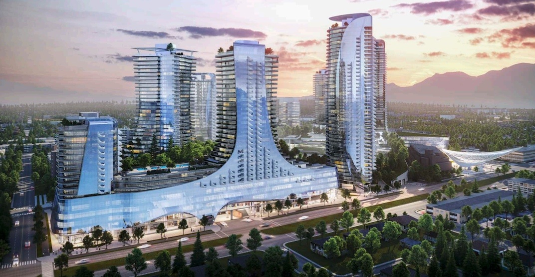
Oakridge 1024 530 mtvc

Oakridge

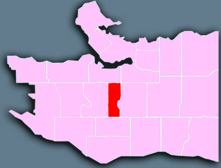
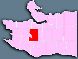
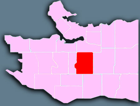
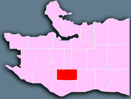
Oakridge is a bustling area—a mix of residential neighbourhoods, a busy shopping mall, and Langara College. For almost a century, Langara Golf Course has drawn golfers to the area. Oakridge is in south-central Vancouver, south of the gorgeous VanDusen Botanical Gardens.

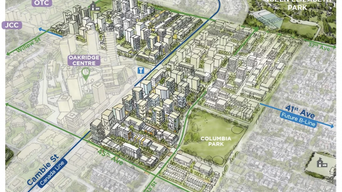
As a relatively young community, Oakridge is constantly evolving and growing in terms of its features and makeup. The Oakridge Centre mall – Vancouver’s first shopping centre – is perhaps the largest draw bringing people into the neighbourhood. Langara College, which delivers a number of educational services to more than 23,000 students, is also located in Oakridge on West 49th east of Cambie.

Oakridge has expanded even more with the construction of the Canada Line along Cambie Street, which was completed in August 2009. Two stations, Oakridge – 41st Avenue Station and Langara – 49th Avenue Station, lie within Oakridge.

The city is conducting a “master planning” process for the Oakridge Centre area, potentially increasing retail, residential, commercial, office and community uses on the site.

Neighbourhood history and heritage
Although neighbouring Marpole and Kerrisdale experienced steady growth between 1908 and 1929, the community of Oakridge remained in its natural state until the early 1950s, when the CPR developed its land holdings for residential and commercial use.

Oakridge