West End
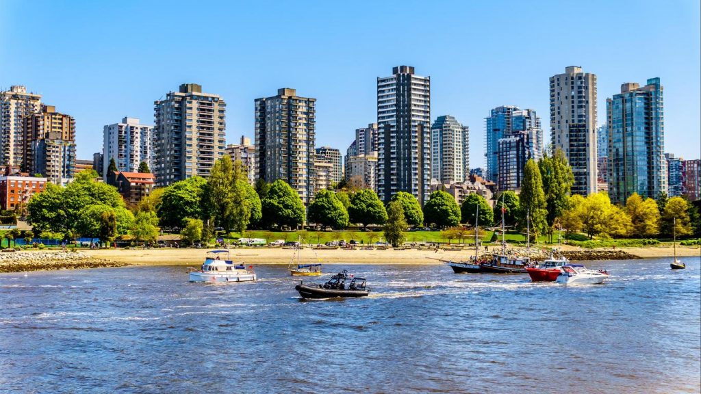
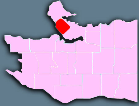
The West End lies west of Downtown, and, on three sides, is bounded by water: English Bay, Coal Harbour, and Lost Lagoon in world-famous Stanley Park. Recreational amenities are within walking distance for residents of this high-density area. The West End includes Davie Village and Denman Street, which together provide local shopping and restaurants. This area also has high-end retail on Robson Street and Alberni Street.
Numerous parks and beaches can be found throughout the West End including Alexandra Park, Cardero Park, Nelson Park, Stanley Park and Sunset Beach. These parks range in size from 0.22 hectares (Morton Park) to over 406 hectare (Stanley Park). A portion of the Stanley Park Seawall promenade runs along the waterfront from Burrard Bridge to Ceperly Park.
The area is also known for English Bay Beach, a large park on English Bay which is thronged during the annual Celebration of Light fireworks display each year mid-summer. St. Paul’s Hospital, one of Vancouver’s largest and oldest health facilities, sits at the neighbourhood’s eastern edge on Burrard Street.
Neighbourhood history and heritage
The West End is located in the most densely populated, intensively active portion of the Lower Mainland. It shares the peninsula with the Downtown, Central Business District and Stanley Park. Until the turn of the century, the West End was only sparsely settled, due to its distance from the old Granville Townsite (Gastown).

West End
- Posted In:
- Neighbourhood

